What Do You See in the Clouds Over Hawaii? Predicting the Weather, Old-School
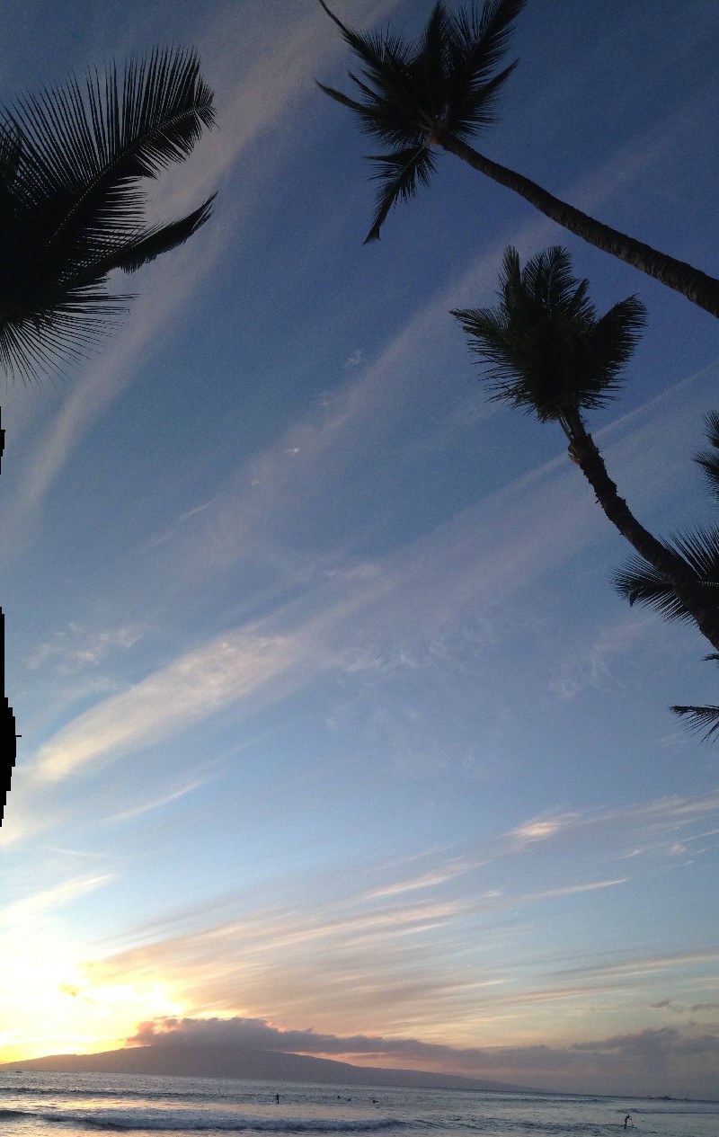
Cirrostratus Clouds over Lanai – if the clouds move quickly across the sky or high up into the sky, rain will follow soon.
I walk outside and look up in the sky a few times a day…out to Lanai and over to the West Maui Mountains…to observe the clouds and remember what my dad told me about the weather:
- A big storm is coming when at least two out of the three high mountains are clear: Haleakala, West Maui or Molokai. High clouds mean a change in conditions, variable.
- The direction the clouds are moving and speed they are traveling tells you where the rain is coming from and when it will hit.
- Cirrocumulus clouds coming from the South means Kona winds soon. Watch out for Jellyfish on the South Shores.
- If the stratus clouds are moving quickly vertically up into the sky, rain will be coming soon.
- The typical puffy white cumulus clouds with flat bottoms and clear skies means trade winds.
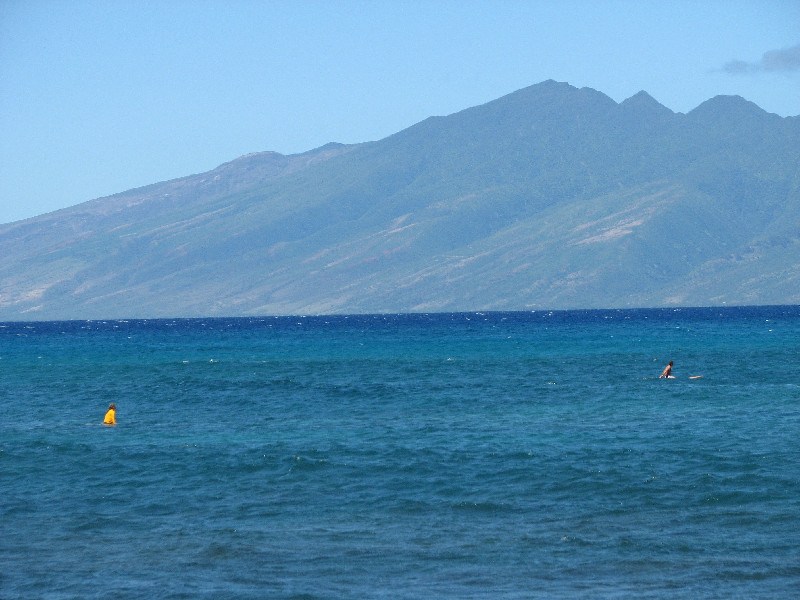
It is rare to see Molokai without clouds – this often means a storm is coming. That’s me in the yellow rash guard.
Pains in the old broken bones mean humidity is high and guaranteed rain fall soon. There will be a heavy, still feeling. Look at the cloud speed to predict when it will hit.
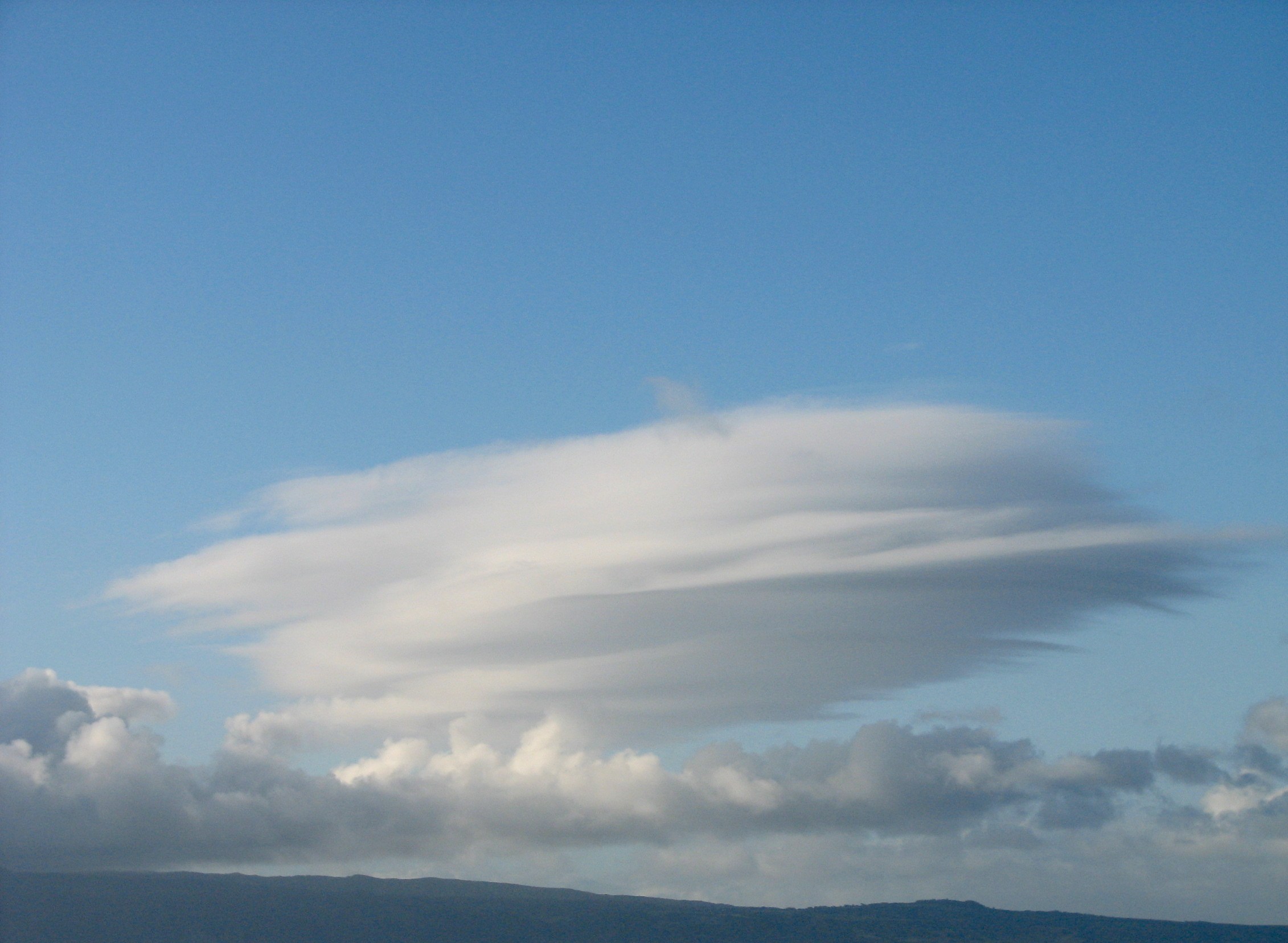
Do you see Ukraine or perhaps a UFO in this Lenticular Cloud? These trippy clouds form over large mountains such as Molokai.
When the clouds are high and look like fish scales, rains will come soon: “Mackerel Sky / not twenty-four hours dry…” The lower the clouds, the sooner it will rain.
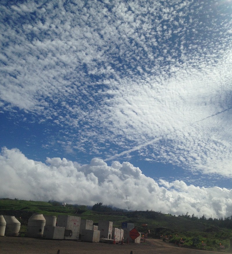
Cirrocumulus clouds over construction at Wailele Ridge – these high-level wispy clouds usually happen in the winter months and indicate clearer skies and sun to follow.
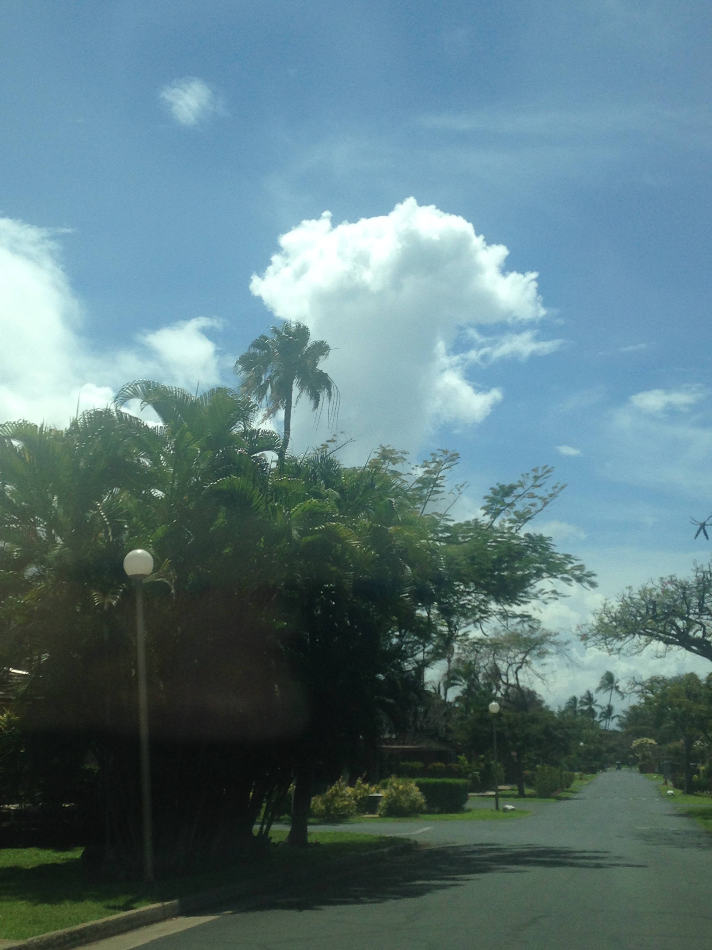
A cumulus cloud over Pualei Drive in Puamana…cumulus clouds normally indicate fair weather, but when they start to move up vertically like this, this indicates heavy rains and lightning to come.
When the wiliwili are in bloom, the sharks will attack. The wiliwili are those scraggly trees along Honoapiilani Highway (around Lahaina). You’ll notice when they rarely bloom, a bright reddish orange, it has rained heavily and the streams will bring mud and debris to the oceans. Sharks love murky water.
I wrote this blog because I realized, with iPhones and the internet, cloud observation (combined with old wives’ tales) may be fast becoming a lost art. In the old days, we relied on the surf checks or got the weather report from the neighbors or family…or that cherished second page in the Maui News with the maps and tide charts. It’s a challenge to predict the weather conditions old-school first.
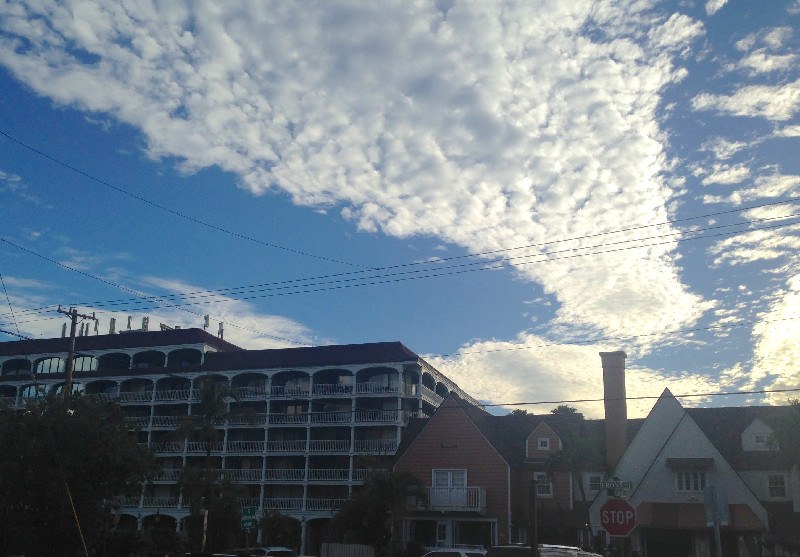
A “Mackerel Sky” over Lahaina Shores – rows of cirrocumulus clouds that look like fish scales come before a warm front and means weather will change.
After looking at the clouds, I go to Glenn James’ report and see if I got it right. I check satellite images as well… it’s important to know when to charge or when to avoid the ocean or when to bring the towels in before the rain hits… or when to sit back and debate whether the cloud looks more like a unicorn or Kyrgyzstan.
For the best cloud watching on the planet, check out this Napili house: MLS 375144

Cumulonimbus clouds over Kahoolawe.
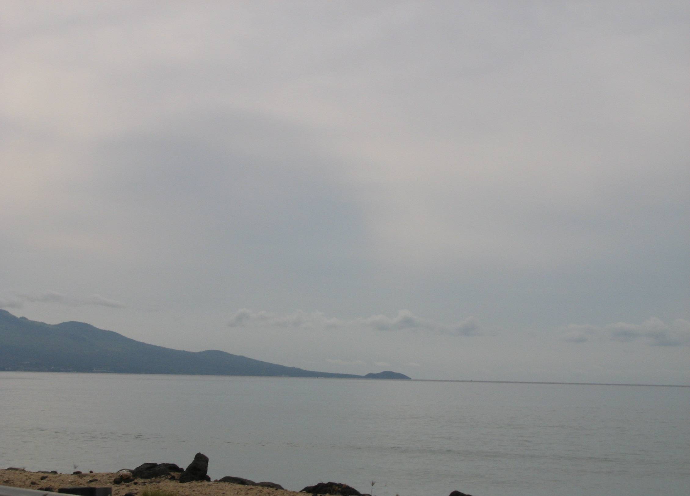
A mix of nimbostratus and slowly moving altocumulus over Lanai is unusual – guaranteed rain coming from the North in the evening.
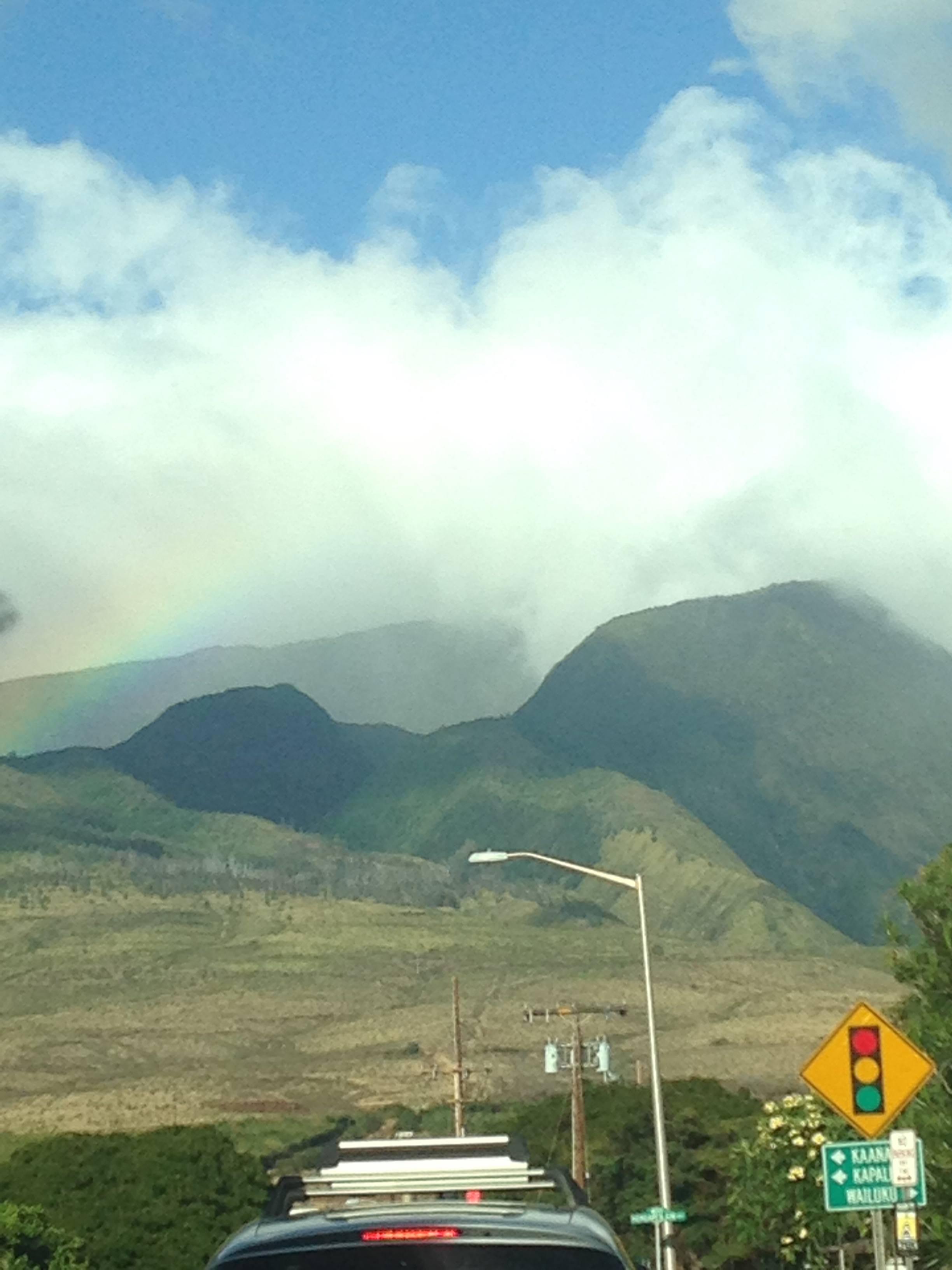
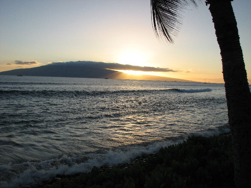
A giant cumulonimbus rain cloud over the West Maui mountains. These clouds are usually stationary over heavy rain areas. It won’t rain in Lahaina.
Altostratus clouds over Makena…Do your joints ache? Stay home.
During fair weather, the cumulus clouds over Lana’i almost always have the same shape…looks like a crocodile to me.

Cumulonimbus clouds at sunset over Papaua Place in Napili.
A backdrop of cirrus clouds with puffy cumulus clouds at a Puamana sunset…there might be jelly fish tomorrow.
Cirrus and Nimbus clouds over Molokai…I predict the rain is clearing up and tomorrow will be a beautiful day…

Karl
August 24, 2017
that picture of “mackerel sky”clouds is clearly stratospheric aerosol injections made by weather control planes for the U.S. solar radiation remediation plan? You can literally see the plane flying through it lol
Anna
August 25, 2017
> Tell me more about weather control?! Are you serious?!
Puamana Maui
August 24, 2017
Love the photos of Puamana Clouds!